Text size: A A A

Whitepaper: Preparing Australia for disaster response and recovery

Sponsored by Nearmap

With the increasing frequency and severity of natural disasters occurring in Australia leading to thousands of households experiencing unprecedented disruption, traditional disaster response models have been challenged.

Emerging technology, such as geospatial intelligence and aerial mapping, can provide governments and local authorities with crucial assistance as they prepare their response to these disasters.

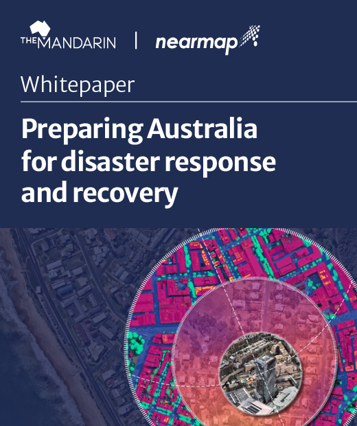
Nearmap’s new whitepaper ‘Preparing Australia for disaster response and recovery’ explores:

  • The different solutions that can provide assistance in disaster situations.
  • Case studies where this technology was successful in providing aid or insights.
  • Why utilising this technology is important during an emergency situation.

Download the whitepaper today.


Nearmap is a pioneering technology and innovation company whose cloud-based geospatial information services and aerial surveys provide certainty to an ever-changing world. We promise our customers the truth in the detail of the world we live in, offering instant access to high resolution aerial imagery, city-scale 3D datasets, and integrated geospatial tools. Nearmap frequently updates this high-volume data with industry-disrupting efficiency — made possible by our patented camera sensors and the most advanced imagery processing pipelines in the world. Esri named Nearmap “Best New Content Provider” in 2017 and an Esri Gold Partner in 2019. In March 2020, Fast Company named Nearmap one of the World’s 10 Most Innovative Enterprise Companies.